
Delhi to Pauri Garhwal by Road: Our Night Drive to Sindudi Village via Ramnagar, Dhumakot and Bironkhal
When your destination is a hotel, you plan around the hotel. When it’s your own village, the whole road feels different, because you know where it’s heading.
I recently made this trip with my friends, from Palam in Delhi to my hometown, Sindudi village in Bironkhal block, Pauri Garhwal, Uttarakhand. We went overnight by taxi and watched the plains turn into forest, and the forest into mountains, until the sun came up over my village.
This isn’t a generic Delhi-to-Pauri guide. It’s the route we actually drove, with where we stopped, what we ate, when we reached each place, and the distances and timings to help you plan your own trip.
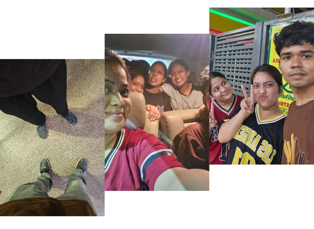
The route at a glance
If you search for “Delhi to Pauri”, most results send you through Meerut, Najibabad, Kotdwar and Satpuli. That works well if you’re heading to Pauri town. Sindudi sits on the Bironkhal and Dhumakot side of the district, so we took the Ramnagar route instead.
Palam, Delhi → Ghaziabad → Hapur → Gajraula → Moradabad → Kashipur → Ramnagar → Marchula → Dhumakot → Jadaukhand → Deeba → Sindudi → Bironkhal
Here are the numbers that matter:
- Delhi to Ramnagar is roughly 245–280 km, most commonly around 250 km via NH 9, taking about 5.5 to 7 hours. jimcorbettbooking
- Ramnagar to Bironkhal via Dhumakot is about 117 km, with a nominal driving time of around 3 hours. distancesfrom
- All together, Delhi to our village was roughly 370 km.
Those are driving times without long stops. Delhi traffic, food breaks, a halt at Ramnagar and slow mountain sections will all stretch them. Our trip started in Delhi in the evening and ended at Sindudi at 7 AM.
Palam to Gajraula: leaving the city behind
We picked up our taxi at Palam and took NH 9 towards Ghaziabad, then Hapur, then Gajraula.
The first stretch is a normal highway drive, with traffic, flyovers, dhabas and trucks. Gajraula is about 105 km from New Delhi and sits right on NH-9. In smooth traffic you can do this in about two hours, though Delhi-NCR traffic can easily add more.
It’s still a typical highway drive at this point, but you’ve already left the busy part of Delhi behind.
Gajraula: dinner at Shiva Dhaba
By Gajraula we were hungry, so we stopped for dinner at Shiva Dhaba. It was a nice place, the food was good, and after hours of driving it felt like exactly what we needed.
Here’s what I ordered and what it cost:
| Item | Price |
|---|---|
| Paneer paratha | ₹100 |
| Tea | ₹15 |
| Bread pakora | ₹30 |
| Total | ₹145 |
It’s an easy, affordable stop, and a good place for a proper meal before the long night section.
Gajraula to Moradabad: the Brass City
From Gajraula, Moradabad is about 54 km by road and roughly an hour away. yatra
Moradabad is an industrial city and municipal corporation in Uttar Pradesh, widely known as the Brass City, or Peetal Nagri, for its brass handicrafts. We didn’t stop, since it was late and we had a long way to go. If you travel in daylight, it’s an interesting place to see.
Moradabad to Kashipur: off the highway
After Moradabad we left the national highway and took the Chandpur–Kashipur road, towards Kashipur. This section is about 55–60 km. One source puts Thakurdwara, a town on the way, 48 km from Moradabad and 12 km from Kashipur. Wikipedia
Kashipur is a historic and industrial city in the Udham Singh Nagar district of Uttarakhand. This is where you cross from Uttar Pradesh into Uttarakhand. The land is still flat, but the mood changes, because you can feel the mountains getting closer.
Kashipur to Ramnagar: where the hills begin
From Kashipur we joined NH 309 and drove to Ramnagar. Older maps and guides call this road NH 121, so you may see both names. The stretch is roughly 35–40 km and takes about an hour.
We reached Ramnagar at around 3 AM and halted here. After Ramnagar, the hills and the Jim Corbett area begin.
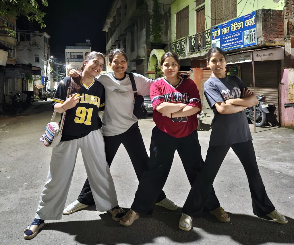
Ramnagar is in the Nainital district, on the banks of the Kosi River at the foothills of the Himalayas. It’s the main gateway to Jim Corbett National Park and the central hub for Project Tiger. People come here for jungle safaris, riverside resorts and the local temples.
Even at 3 AM the town was awake. You can buy sweets and fruits, grab tea, and find rooms to stay, and everything stays open through the night. For us it was a short break to stretch our legs and get ready for the climb.
Ramnagar to Marchula: into the forest
We set off again at about 4 AM, and from here it was all hills.
The road goes through the forest stretch around Nainital and the Corbett landscape. It’s dark, the road gets narrow and curvy, and you drive more carefully. You can also see deer and other animals here, though sightings are never guaranteed, so keep your speed down and stay alert.
Our first big halt on this stretch was Marchula, about 34 km from Ramnagar by road. Different map sources give different figures depending on exactly where they place Marchula, so treat that as a guide.
Marchula is a quiet valley on the edge of the Corbett area, along the Ramganga River in the Almora district. It’s known as a halting and eating stop. We didn’t eat here and kept going.
Marchula to Dhumakot: the long climb
This is the longest and slowest part of the trip. The Ramnagar–Dhumakot distance is around 94 km by road, though a couple of sources say closer to 85 km. That puts Marchula to Dhumakot at roughly 50–60 km of winding mountain road.
On a highway that would be under an hour. In the hills, with bends and forest sections, give it a lot more. Plan for the road, not just the kilometres.
Dhumakot: the market of the hills
Dhumakot is a major mountain town in Pauri Garhwal, and a big market in the hills, much like Bironkhal. If you’re travelling this route, this is where you can find most things you need.
It’s also a transport hub, with taxis and buses to places like Nainidanda and Haldukhal. For people living in the surrounding villages, a market like this is where they buy groceries and clothes, collect medicines, and catch a ride to the next town.
From Dhumakot, you really feel you are deep in Garhwal.
Jadaukhand: the chole you shouldn’t skip
A short distance from Dhumakot is Jadaukhand, also spelled Jaraukhand. It’s very close, with map data showing roughly 3 km between Dhumakot and Jaraukhand in a straight line, so expect a few kilometres by road. elevationmap
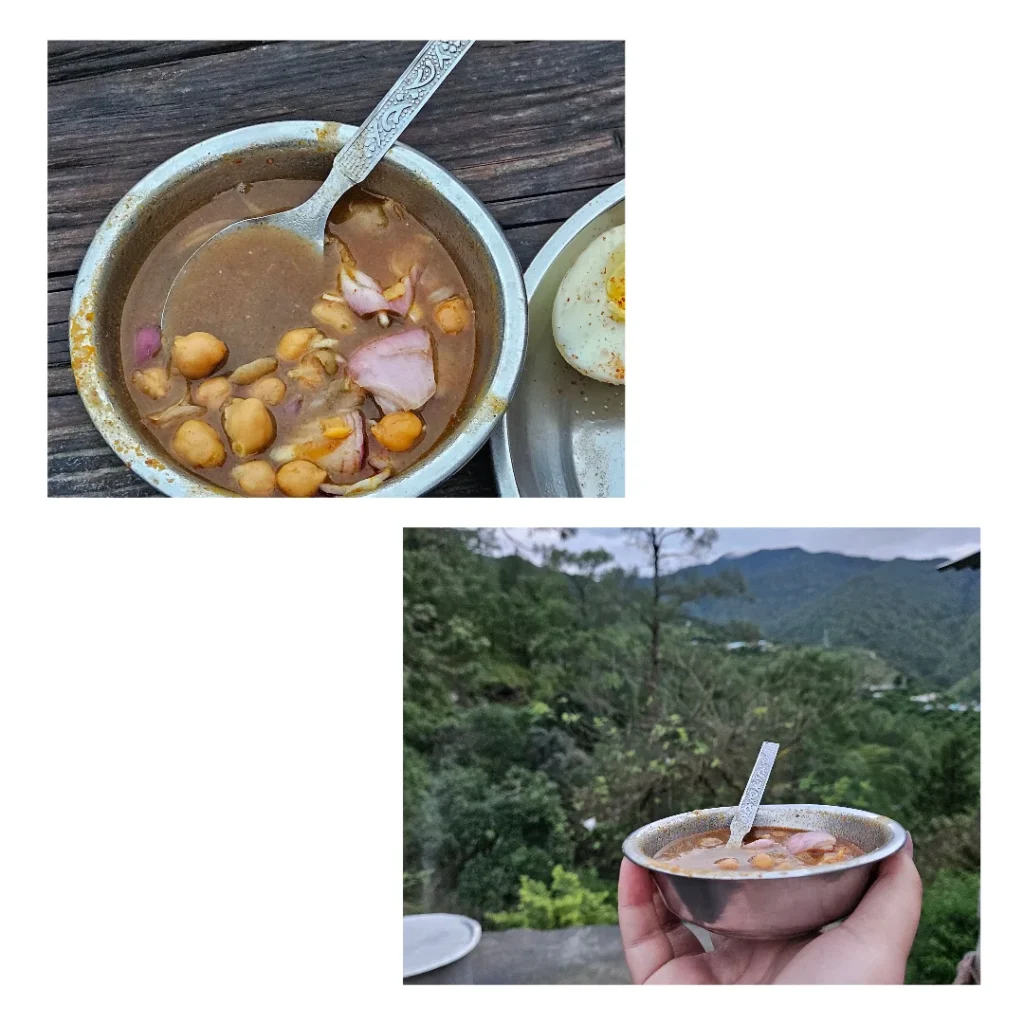
This is where we finally stopped to eat. Jadaukhand is famous for its chole, and it’s the highlight of the route. After driving all night, the first light of morning, cool mountain air and a plate of hot chole at a small roadside place tasted better than any restaurant meal.
If you only stop for food once on this route, make it here.
Deeba: feel the temperature drop
After eating we headed up to the Deeba forest area. It’s high up, and you can feel the temperature drop as you climb.
Deeba Danda is a flattened mountain top with a height of about 2,670 m (8,760 ft), with panoramic views of the hills and valleys around. The revered Deeba Mata Temple sits on this ridge. Wikipedia
Keep a jacket close, even in summer. After a night of plains and low hills, the cold, quiet forest up here feels like another world.
Sindudi at 7 AM: home
From Deeba we came down to Sindudi, my hometown, at around 7 AM.
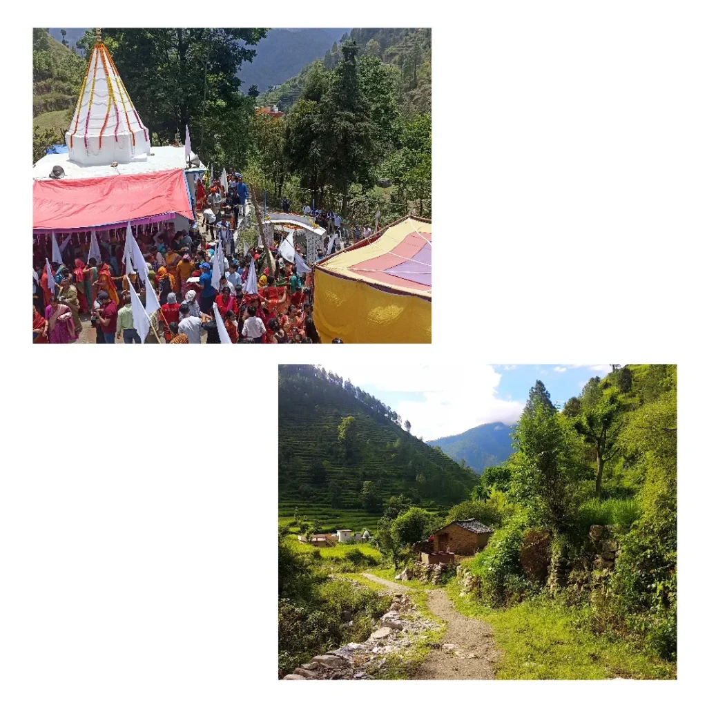
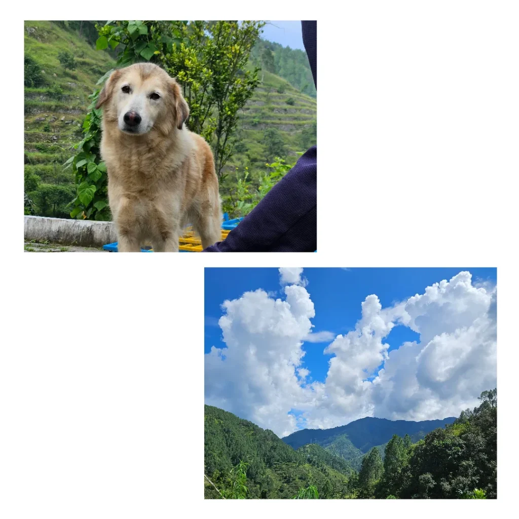
It’s a peaceful village in Bironkhal block of Pauri Garhwal, with mountain slopes, forests and farmland, set near the Ramganga and Huim rivers. It’s the real, quiet, deep-interior Garhwal that you don’t find on regular tourist itineraries.
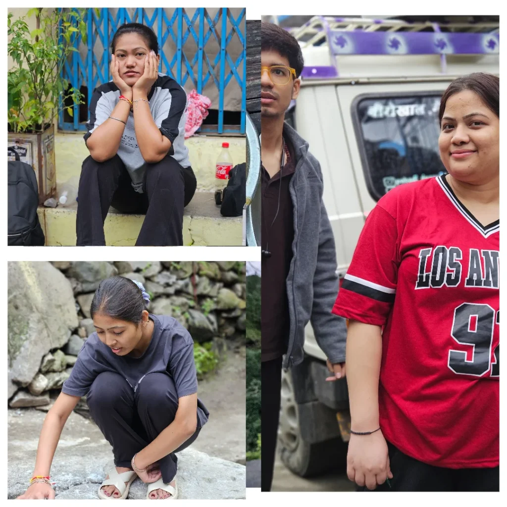
After a full night on the road, there’s a particular relief in finally getting out of the car. The ride from Ramnagar at 4 AM to home at 7 AM matches the roughly 3 hours the map suggested for 117 km, even with the chole stop.
Bironkhal: the market for everything
From Sindudi, Bironkhal market is around 6 km away, and you can buy most things there. Bironkhal is a historic market town and block headquarters in the south-eastern part of Pauri Garhwal, at about 1,450 to 1,600 metres. It sits near the meeting point of the Pauri Garhwal, Chamoli and Almora districts, so you get a blend of Garhwali and Kumaoni culture.
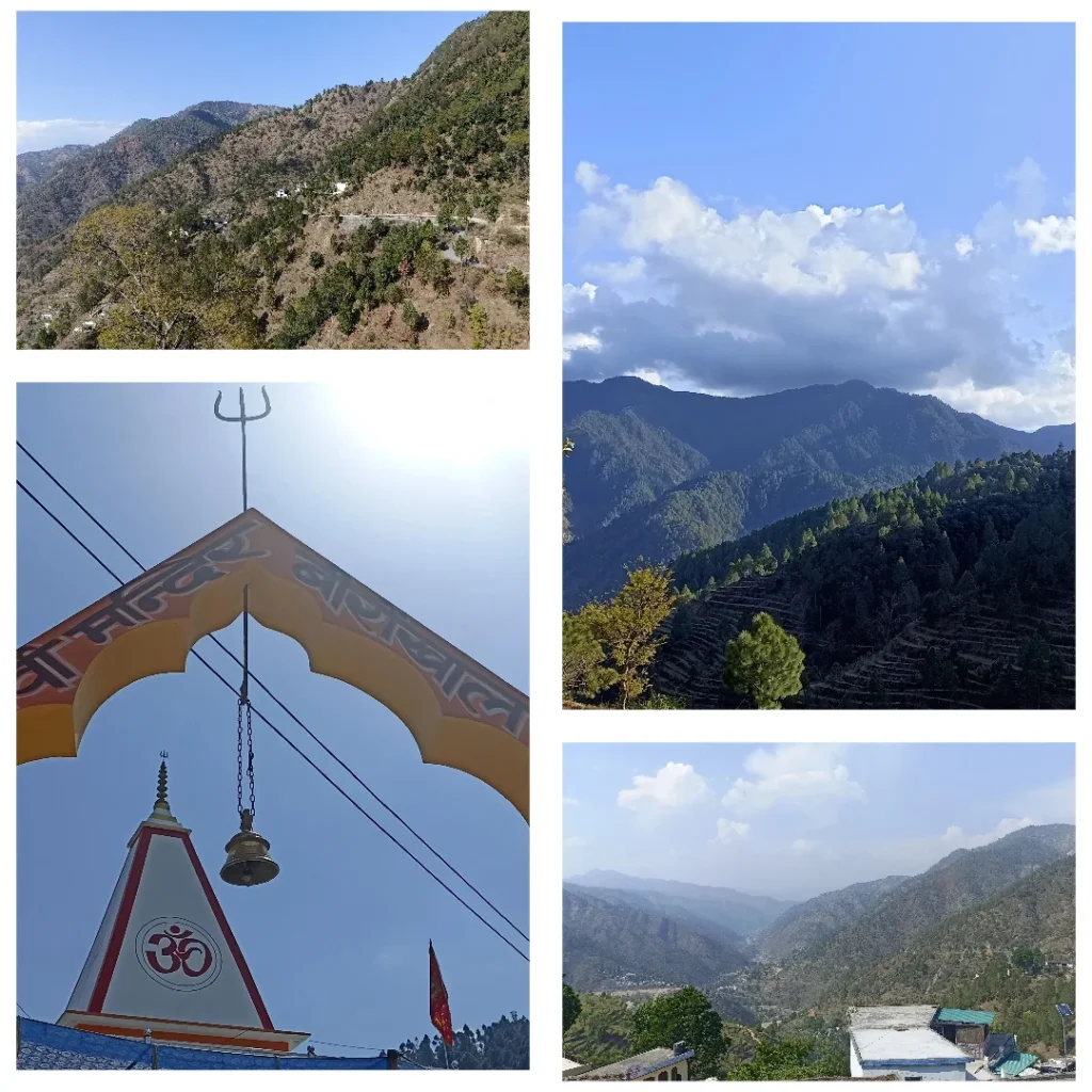
Most people searching for Pauri Garhwal read about Pauri town, Lansdowne or Khirsu. Bironkhal shows you the other side, with no crowds. It’s local shops, taxis waiting for passengers, farmers coming in from the villages and the hills all around.
Beyond our route: Pauri and nearby places
Even though Sindudi was our destination, the wider region is full of places worth adding to a longer trip.
Pauri town is the district headquarters at around 1,800 metres, known for its views of peaks like Chaukhamba, Nanda Devi, Trisul and Kedarnath, and a quieter feel than most hill stations.
Tara Kund is a small lake with an ancient temple, at a height of 2,200 m in the Chariserh development area. It suits people who like trekking, photography and quiet places. Since it isn’t reachable directly by road, expect a short trek.
Khirsu is 19 km from Pauri at 1,700 m, among oak and deodar forests and apple orchards. pauri
Doodhatoli is a high meadow area at 3,100 m, covered with dense mixed forest. The last bus stop is Thalisain, and from there it’s a trek.
Lansdowne, Devprayag and Jwalpa Devi are other well-known stops in the district, for the Garhwal Rifles cantonment, the Alaknanda–Bhagirathi confluence and temples.
Why we chose the Ramnagar route
The common Delhi–Pauri route through Kotdwar and Satpuli is a good option for Pauri town. We went via Ramnagar because Sindudi was our actual destination, and for villages on the Bironkhal and Dhumakot side, this route makes sense. You also pass through the Corbett forest area and climb gradually into the Garhwal hills, which is a great experience in itself.
Distance and time: what to plan for
| Section | Approx. distance | Planning time* |
|---|---|---|
| Delhi (Palam) → Gajraula | ~105–110 km | ~2–2.5 hrs |
| Gajraula → Moradabad | ~54 km | ~1 hr |
| Moradabad → Kashipur | ~55–60 km | ~1–1.25 hrs |
| Kashipur → Ramnagar | ~35–40 km | ~45 min–1 hr |
| Delhi → Ramnagar (total) | ~250–280 km | ~5.5–7 hrs |
| Ramnagar → Marchula | ~34 km | ~1 hr or more |
| Ramnagar → Dhumakot | ~85–94 km | ~2.5 hrs or more |
| Dhumakot → Jadaukhand | ~3–5 km | short, but mountain road |
| Ramnagar → Bironkhal via Dhumakot | ~117 km | ~3 hrs nominal, allow more |
| Sindudi → Bironkhal | ~6 km | short mountain drive |
*These are approximate planning figures from route references, not guaranteed times. Traffic, weather, stops, and your exact start and end points will change them. The Marchula-to-Dhumakot and Moradabad-to-Kashipur figures are estimates from combining distances.
Our timeline
| Time | Place | What happened |
|---|---|---|
| Evening | Palam, Delhi | Started by taxi with friends |
| Evening | Ghaziabad → Hapur | Continued on the NH 9 corridor |
| Night | Gajraula | Dinner at Shiva Dhaba |
| Night | Moradabad → Kashipur | Left the highway, entered Uttarakhand |
| ~3 AM | Ramnagar | Halted |
| ~4 AM | Ramnagar | Set off into the hills |
| Early morning | Marchula | Passed through, no food stop |
| Morning | Dhumakot | Big market town |
| Morning | Jadaukhand | Chole stop |
| Morning | Deeba | Higher, colder forest |
| ~7 AM | Sindudi | Reached home |
Tips if you’re planning this trip
- Leave Delhi in the evening. It gets you to Gajraula for dinner and Ramnagar in the small hours.
- Halt at Ramnagar if you’re tired. Rooms, tea, sweets and fruits are available through the night.
- Start the hills at 4 AM or later, so you see the forest at first light and maybe spot some animals.
- Drive slowly at night on the forest and mountain roads.
- Carry cash. ATMs are rare once you’re deep in the hills.
- Fill up on fuel before the long climb.
- Pack warm clothes, especially for Deeba.
- Eat at Jadaukhand. The chole is worth it.
- Don’t trust map time alone. In the mountains, kilometres and hours are two very different things.
Final thoughts
What I love most about this trip is how gradually everything changes. You start in Delhi among buildings and traffic, then drive the plains of Uttar Pradesh and stop at a dhaba in Gajraula. You cross Moradabad and Kashipur, reach Ramnagar in the dead of night, and then the forests begin. After that come Marchula, Dhumakot’s market, hot chole at Jadaukhand, the cold air of Deeba, and finally Sindudi in the morning light.
You can’t get that from a flight or a quick train ride. You watch the road change kilometre by kilometre, and by the end you’ve felt the temperature drop and the bends get sharper.
For me, it ends with the roads I grew up on and the market where people know my family. If you’re headed to this side of Pauri Garhwal, I hope this helps you plan, and that you enjoy the drive as much as we did.


This is really helpful🫂Saving this for the next trip🏔️❤
Thanks means a lot.